Running in Padua: the routes preferred by runners and walkers
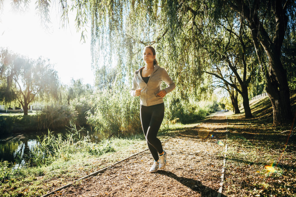
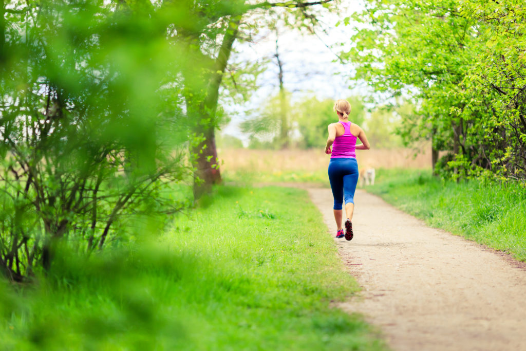
Running at sunset after work or first thing in the morning before starting your day can be one of the best times of day.
Other than keeping us in shape, running helps us relax and free our mind from every thought and worry.
To do this, you need to plan your jogging route. To help you in your search, here are the locals’ favourite running routes.
![]()
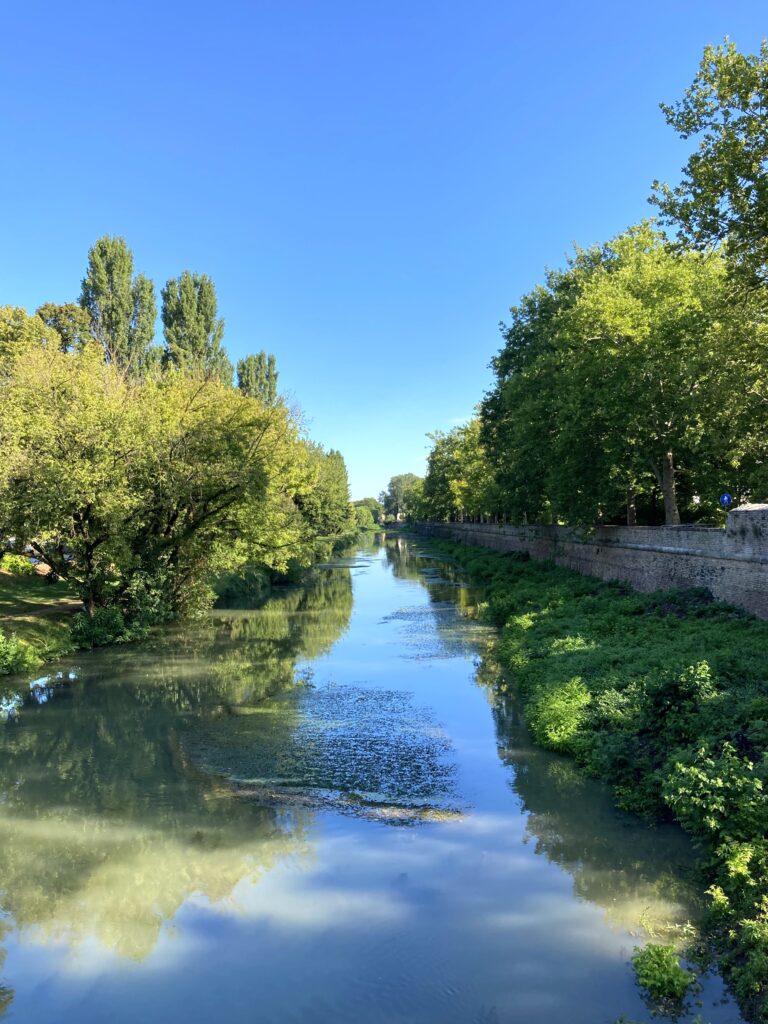
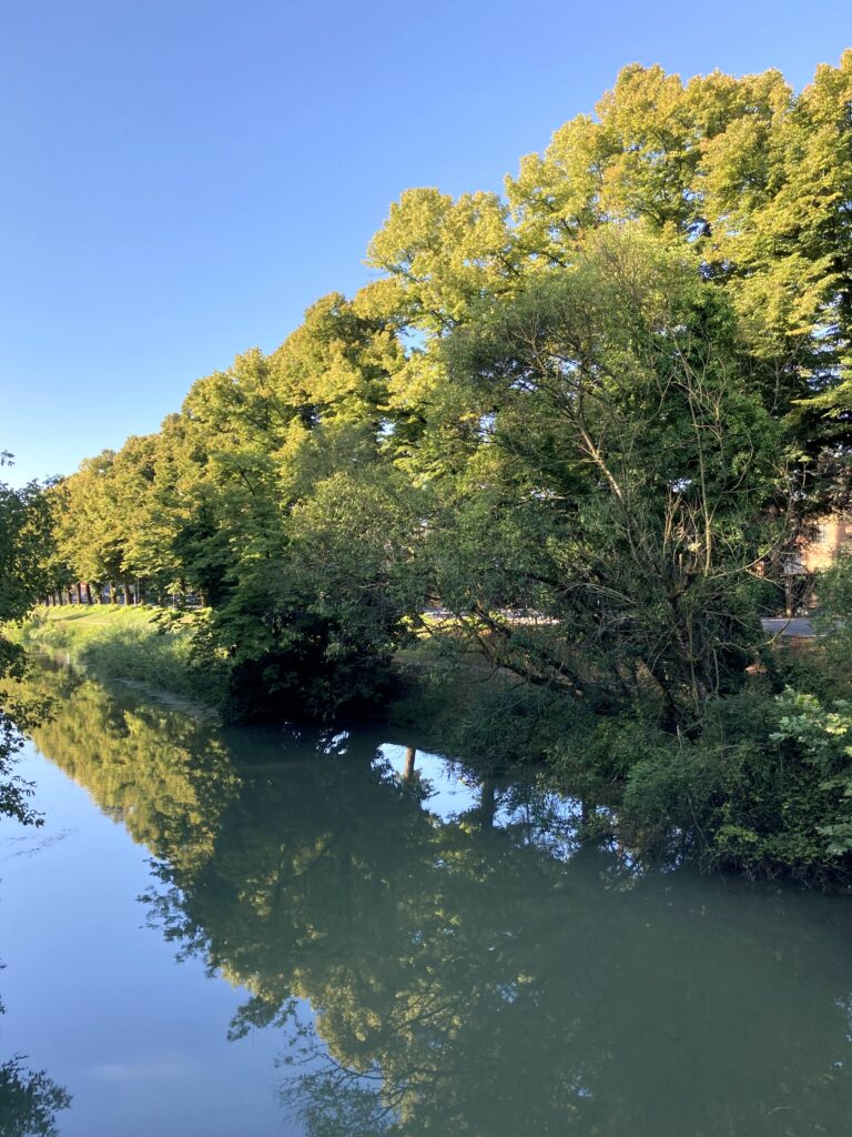
Running in Padua along the riverbank: a luxury few cities offer
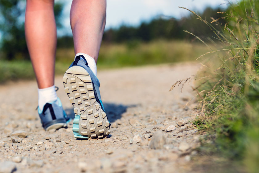
Whether it be jogging, nordic walking, a run or a simple walk with your four-legged friend, keeping moving and being out in the open air is both good for your body and your mind.
Running, even a light run, has several health benefits: it helps burn sugars and fatty acids, it prevents hypertension and arthritic problems, regulates your breath and maintain strong bones.
Put on your shoes and in just a few hundred meters you will pass through the streets and earthy paths that few cities offer. Padua offers a large variety of places and spaces to run and keep in shape.
The best routes to go running in Padua
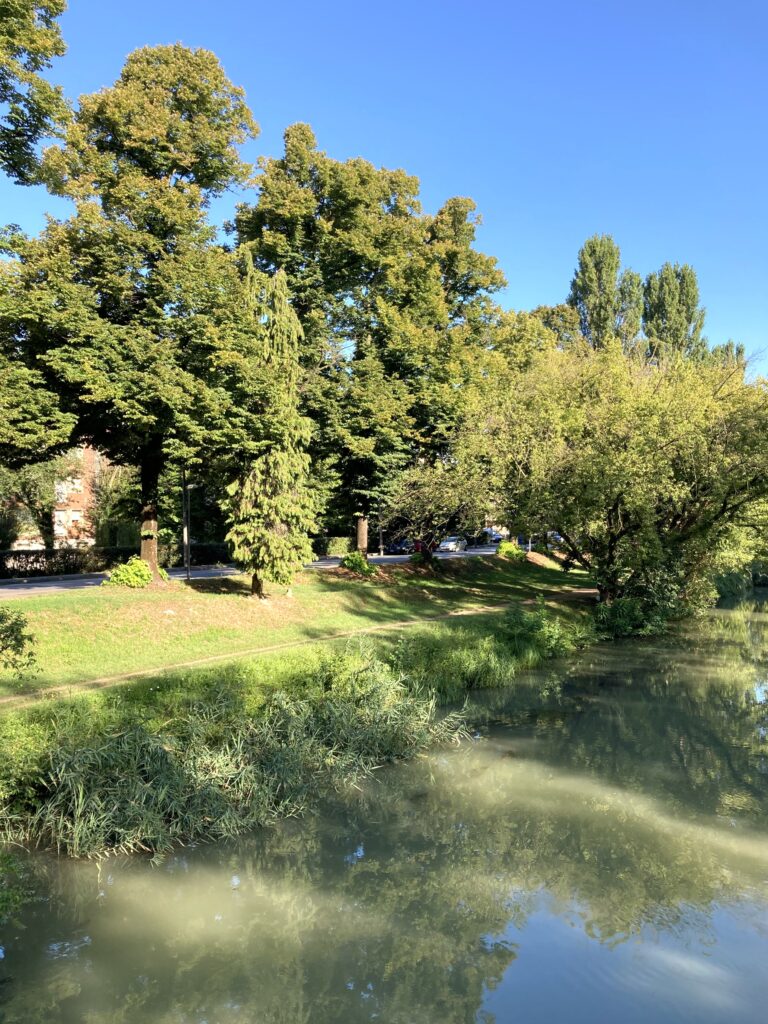
The most beautiful routes to do sport at zero cost are without a doubt those that run along the river. Far from the traffic and immersed in the greenery, here you will be able to enjoy many miles of tranquillity…
In some cases, these precious green spaces are also equipped with gym equipment and most offer renaturalisation spots with trees planted.
White poplars, ash trees, field maples and other species shade the riverbanks, making them practicable even on the sunniest days.
Here are the riverbank courses that we advise you to explore, starting from Bassanello.
Acquapendente route
Distance
3,115 metres (roughly 2 miles)
Description
From the training bars of Bassanello to the bridge on Via D’Acquapendente.
Stop before the bridge at the junction with the road and come back.
Type of terrain
Level trodden ground
Water fountain
Drinking water available from a water fountain around 50 metres before you get to the bridge
Map
View
Città Giardino route
Distance
2,300 metres (roughly 1.5 miles)
Description
From the training bars of Bassanello cross the junction and keep to the right of the bridge.
As soon as you’re round the corner going right go down the pavement and run along the river on the grassy path/clay terrain.
Go under the footbridge and follow the road until you get to Saracinesca bridge.
Cross the bridge and take a right straight away to follow the elevated shaded riverbank of Città Giardino until you get to the iron footbridge. Follow it and then turn left left.
Descend from the pavement and follow the route taken on the first leg of the journey.
Type of terrain
Level trodden ground
Water fountain
At the Bassanello starting point
Map
View
Facciolati route
Distance
5,000 metres (roughly 3 miles)
Description
From the Bassanello training bars until the bridge at Via Facciolati.
Stop before the second bridge at the junction with the road and turn back.
At the bridge with Via Acquapendente go under the bridge on the downhill path that you’ll find on the right before the bridge.
Type of terrain
Level trodden ground
Water fountain
Drinking water is available at a water fountain that’s about 50 metres before arriving at the Via Acquapendente bridge and at another one before arriving at the Via Facciolati bridge.
Map
View
Terranegra route
Distance
8,220 metres (roughly 5 miles)
Description
From the training bars at Bassanello until the Terranegra bridge; stop at the iron bar before the Terranegra bridge and turn back.
At the Via Acquapendente bridge and at the Via Facciolati bridge take the downhill path on the right before both bridges.
After the path under the bridge of di Via Facciolati cross the road and go back onto the route.
Type of terrain
Level trodden ground
Water fountain
Drinking water is available at a water fountain about 50 metres before getting to the Via Acquapendente bridge, before getting to the Via Facciolati bridge and at the Terranegra bridge.
Map
View
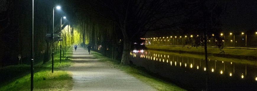
With an absence of transits the streetlights offer minimal albeit sufficient lighting. When the cameras placed every 300 metres detect a passer-by, the lights in that area automatically get brighter.
Camin route
Distance
10,880 metres (roughly 7 miles)
Description
From the training bars at Bassanello until the Terranegra bridge; stop at the iron bar before the Terranegra bridge and turn back.
At the Via Acquapendente bridge and at the Via Facciolati bridge take the downhill path on the right before both bridges.
After the path under the bridge of di Via Facciolati cross the road and go back onto the route.
At the Terranegra bridge cross the street and go straight on.
Type of terrain
Level trodden ground
Water fountain
Drinking water is available at a water fountain about 50 metres before getting to the Via Acquapendente bridge, before getting to the Via Facciolati bridge, before the Terranegra bridge and halfway between the Terranegra and Camin bridge.
Map
View
Where do the routes start from
Bassanello
Distance from ApartmentsPadova: see map
Photo via:
envato.com
acegasapsamga.it
Mappe dei percorsi arginali:
corsapadova.it